Severe Thunderstorms to Bring Large Hail, Damaging Winds, and Tornadoes to Midwest and South
Severe thunderstorms are expected to continue across portions of the Midwest and South over the next few days, bringing the potential for large hail, damaging winds, and tornadoes. The National Weather Service’s Storm Prediction Center has issued warnings for areas stretching from Lincoln, Nebraska, to Baltimore, with tens of millions of Americans potentially affected. As the storm system moves across the region, residents are advised to stay informed about local weather conditions and take necessary precautions to ensure their safety.
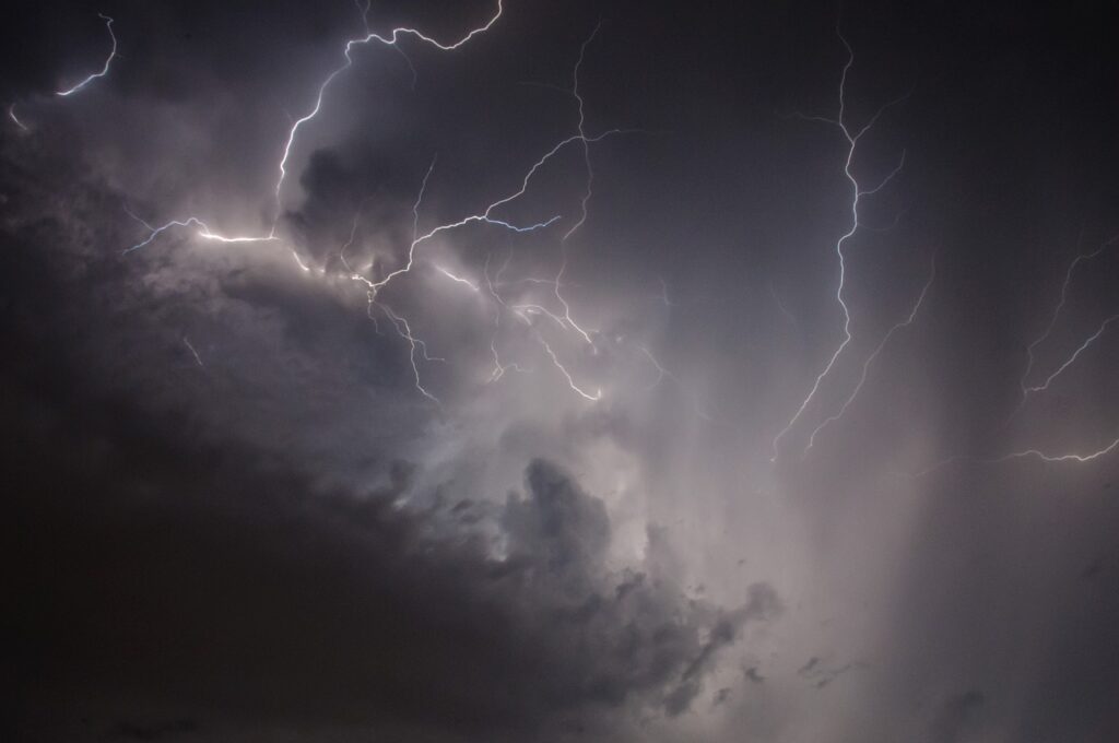
Monday's Severe Weather Outlook

On Monday morning, severe thunderstorms were already ongoing in the Central Plains, with tornado watches issued for eastern parts of Nebraska and Kansas, as well as southwest Iowa. Wind gusts over 70 mph were reported in central Nebraska, and a tornado was spotted near Eureka, Kansas, by emergency management officials.
The severe weather threat is expected to shift eastward ahead of a cold front, extending from the upper and mid-Mississippi River valleys to the Ozarks region. Central and eastern Iowa, northwest Illinois, and northern Missouri face a higher likelihood of supercell thunderstorms, which could produce destructive hail, tornadoes, and damaging winds.
Some of these tornadoes could be strong, with an intensity of EF2 or greater. As the storm system moves into the Mississippi Valley, Great Lakes, and Ohio Valley areas on Tuesday, the risk of severe weather will persist, with Southern Iowa, Northern Missouri, and Central Illinois particularly at risk for significant hail and tornadoes.
April's Active Severe Weather Pattern
April has already been an active month for severe weather, with more than 900 reports of severe events, including large hail, damaging thunderstorm winds, and tornadoes, in the first 11 days alone. The month began with an outbreak of at least 74 tornadoes from Oklahoma to the Ohio Valley, followed by another severe weather event that spawned at least 19 tornadoes in the Deep South.
Flash flooding has also affected several regions, including the Ohio Valley, east Texas, New Orleans, and Tallahassee, Florida. This could be the third week in a row with a severe outbreak in the U.S., highlighting the need for residents to remain vigilant and prepared.
Tornado season typically peaks in May, with the strongest and most deadly tornadoes usually occurring between late April and mid-May. Some scientists believe that tornadoes in the U.S. have been shifting over the past few decades, with more occurring in states along the Mississippi River and farther east.

Factors Influencing Tornado Formation and Patterns

The shift in tornado patterns could be attributed to the western Great Plains becoming drier due to climate change, causing precipitation to move eastward. This change in precipitation patterns may be influencing the location and frequency of tornado formation. However, it is important to note that there is still a significant amount of uncertainty in these estimates, as tornado seasons can vary greatly from year to year.
Scientists are continuing to study the factors that contribute to tornado formation and the potential impacts of climate change on severe weather patterns. Understanding these factors is crucial for improving severe weather forecasting and helping communities better prepare for and respond to extreme weather events.
As research continues, it is essential for residents in tornado-prone areas to stay informed about the latest developments in severe weather forecasting and to have emergency plans in place to ensure their safety during extreme weather events. By working together and staying prepared, communities can become more resilient in the face of severe weather challenges.
Ensuring Safety During Severe Weather Events

As the severe weather continues, residents in the affected areas are advised to stay informed about local weather conditions, heed any warnings issued by the National Weather Service, and take necessary precautions to ensure their safety. This includes having an emergency kit prepared, identifying safe shelter locations, and staying tuned to local news and weather updates.
By staying informed and prepared, individuals and communities can better protect themselves and their loved ones during severe weather events. It is also important for community leaders and emergency management officials to work together to develop and implement effective severe weather response plans.
As the storm system continues to move across the Midwest and South, it is essential for everyone in the affected areas to remain vigilant and take appropriate actions to stay safe. By working together and prioritizing safety, communities can weather the storm and emerge stronger and more resilient.